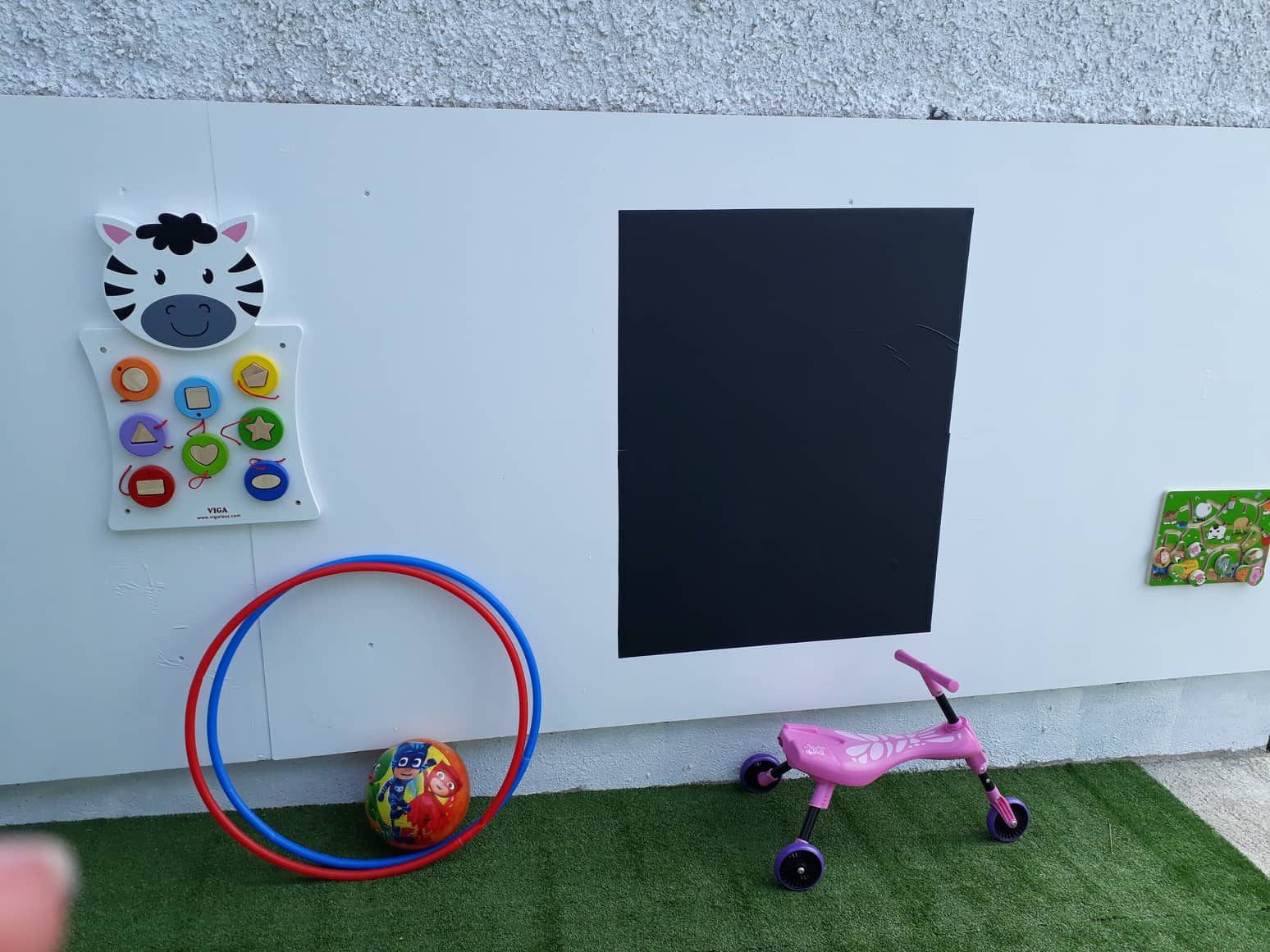
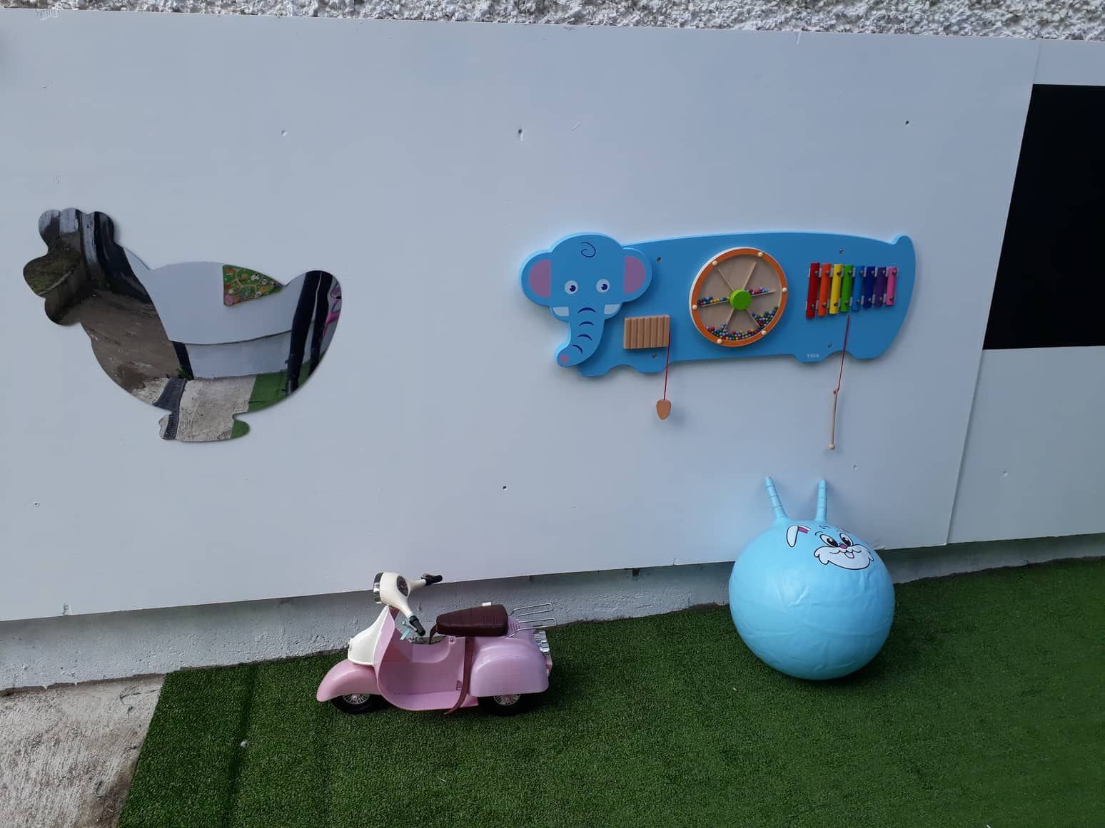
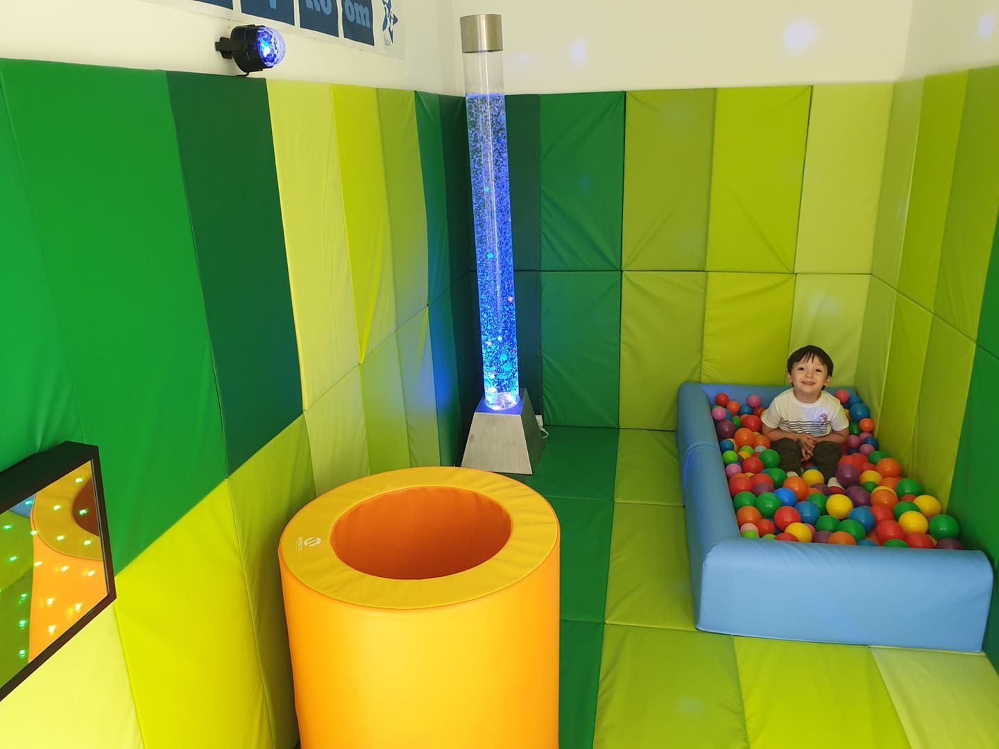
Ireland Area Intelligence
Loading map data...
Layers
LowMediumHigh
Sources & Definitions
Household Density
Occupied dwellings per CSO Small Area (Census 2022). Circle size = household count. Colour intensity = relative density. 18,919 areas covering Ireland.
Business Density
Commercial properties from Tailte Eireann (Valuation Office). 153,410 rated properties with coordinates. Categories: Retail, Office, Industrial, Hospitality. Updated periodically by Valuation Office.
Purchasing Power
Composite score (0–71, median 39.6) derived from Census 2022 at Small Area level. Weighted blend: 25% professional/managerial social class, 25% honours degree+, 20% homeownership, 15% 2+ car households, 15% employment rate.
Housing Tenure
% owner-occupied households (mortgage + outright) from Census 2022. Blue >70%, Purple 40–70%, Orange <40%.
Demographics
Population, households, social class, education, employment from Census 2022 Small Area Population Statistics (SAPS). Pobal HP Deprivation Index (2022) joined at Electoral Division level.
Companies (CRO)
Active registered companies from Companies Registration Office, aggregated by county and NACE sector. County-level only (no coordinates).
Housing Growth
New Dwelling Completions: CSO table NDQ07 by Eircode routing key, Q1 2023–Q4 2025.
Commencement Notices: CSO table HSM14 by Local Authority, Jan 2023–Dec 2025.
Completions mapped from Eircode to county. Commencements at LA level.
Transformations
• Purchasing power % fields computed from raw census counts, then weighted into composite score
• Pobal deprivation joined to small areas via Electoral Division name (case-insensitive)
• Eircode routing keys mapped to counties for growth data aggregation
• Property coordinates converted from Irish Transverse Mercator to WGS84
Map tiles © OpenStreetMap © CARTO